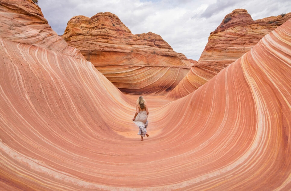
Looking for somewhere new to explore? While most people think you need to go outside of the US to see some of the most wondrous places the world has to offer, the American landscape is actually one of the most unique the world has to offer. Here are some of the greatest places you can travel, and you wouldn’t believe they’re in the USA.
When you’re done reading this, check out The Most Unusual Buildings in Each State You Should Visit on Your Next Road Trip.
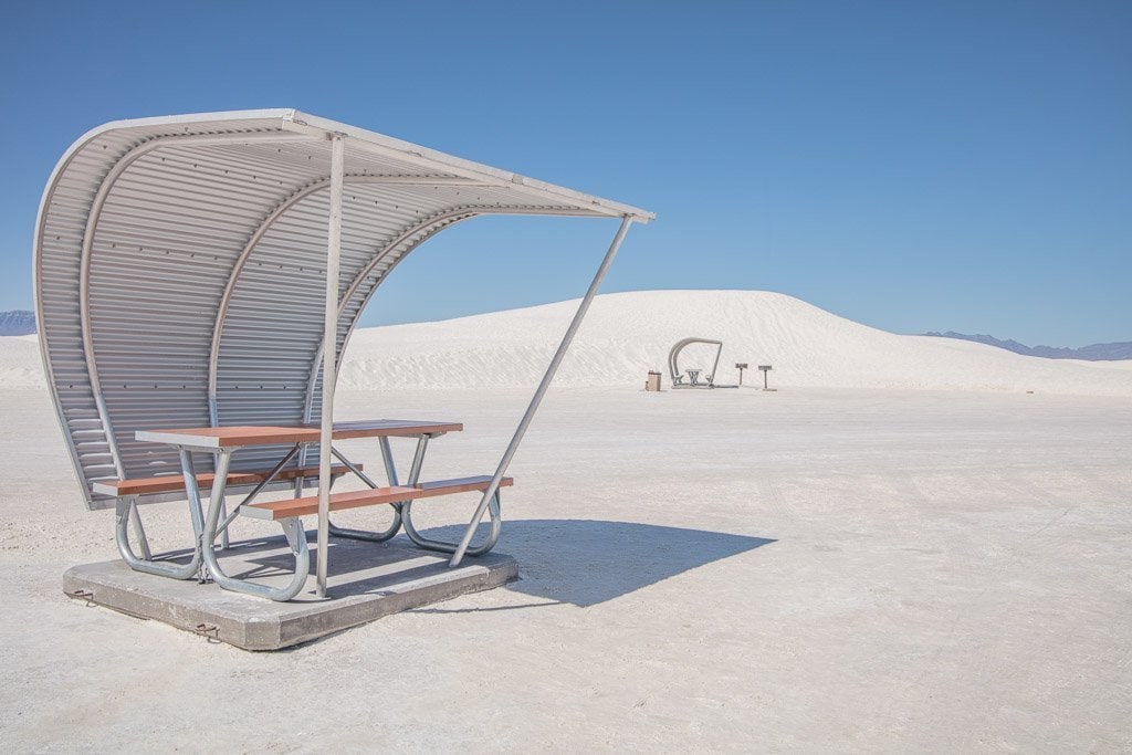
White Sands National Park, New Mexico
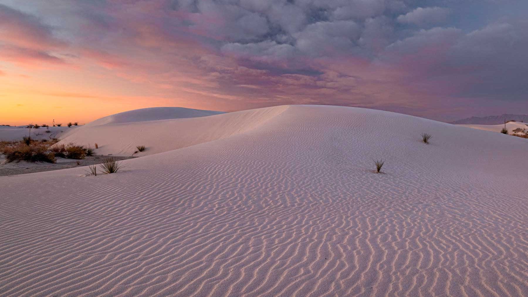
White Sands National Park is an American national park located in the state of New Mexico. The park covers 145,762 acres in the Tularosa Basin, including the field of white dunes composed of gypsum crystals. This gypsum dune field is the largest of its kind on Earth, with a depth of about 30 feet, and dunes as tall as 60 feet.
Approximately 12,000 years ago, the Tularosa Basin featured large lakes, streams, grasslands, and Ice Age mammals. As the climate warmed, rain and snowmelt dissolved gypsum from the surrounding mountains and carried it into the basin. Further warming and drying caused the lakes to evaporate and form selenite crystals. Strong winds then broke up crystals and transported them eastward. A similar process continues to produce gypsum sand today. Thousands of species of animals inhabit the park, a large portion of which are invertebrates. Several animal species feature a white or off-white coloration. (via National Park Service)


